
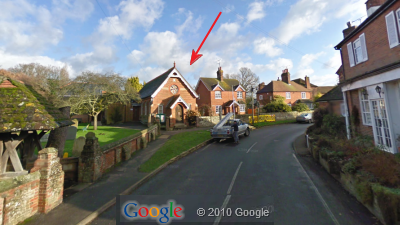
The Village Hall is situated in the centre of the village, to the right of St Peter’s Church and immediately behind the war memorial (as shown by the pin on the map below). The main entrance is up the path to the left of the hall into the new extension. There is a gradient on the path, but no steps at all.
Directions
The geographical address of the Village Hall (for ‘SatNav’ purposes) is:
Slinfold Village Hall, The Street, Slinfold, West Sussex RH13 0RP
(This address should not be used for correspondence. For correspondence addresses, please see the list of Contacts.)
Parking
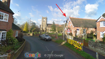
Parking is available (all within 50 yards):
- in the main street,
- in Clapgate Lane (to the left of the church), and
- (outside school hours) in the school car park just beyond Clapgate Lane (see StreetView below).
Please:
- Do not park directly on the bend in front of the war memorial;
- Do not park on the pavement;
- Do not block the dropped kerbs on the corners of Clapgate Lane; and
- Do not park beyond the “No Parking beyond this point” signs in Clapgate Lane.
- Route 63: Horsham – Slinfold – Rudgwick – Cranleigh – Guildford
Runs approximately hourly, Monday – Saturday. Last bus c.19:30 (17:30 Sat).
No Sunday service
Service run by Arriva Monday – Saturday. - Route 100: Horsham – Slinfold – Billingshurst – Pulborough – Storrington – Steyning – Henfield – Burgess Hill
Runs approximately hourly, Monday – Saturday. Last bus c.17:00 – 18:00.
No Sunday service. Service run by Compass Travel. - Billingshurst (approx. 5 miles): served by the 100 bus service above; private taxi firm opposite the station
- Christ’s Hospital (approx. 3.5 miles): no suitable bus service; no taxi rank.
- Horsham (approx. 5 miles): served by both the 63 and 100 bus services above, and by a taxi rank.